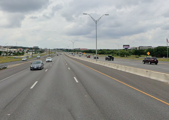
Seeing Is Believing
When it comes to helping people connect an idea with an outcome, a picture is worth a thousand words. RTG’s visualization team bridges the gap using the most cutting-edge hardware and software to bring a project to life. Our expertise in Bentley’s OpenRoads modeling technology produces high quality 3D design models and visualizations for any project phase, from schematic design to final PS&E.
A 3D design model is more than an impressive image, it can play a vital role in helping a project become a reality. Design models can be used during client coordination meetings to provide status updates, meetings with utility providers to identify potential utility conflicts and resolutions, and to provide clarification for access concerns when meeting with impacted property owners during right-of-way acquisition. A fully animated 3D visualization can be used to illustrate the design intent to project stakeholders and as part of the public involvement process to help gain project support. Our in-house experts have created visualizations to show the finished product for complex, multi-level interchanges, as well as to provide options for preserving historic monuments in rural areas.
RTG’s 3D Design Modeling and Visualization Services, using OpenRoads, Include:
Roadway Design Modeling
- Initial configuration and system setup
- Setup existing surface
- Import and generate geometry
- Create template(s)
- Corridor, feature and linear template application
- Generate cross section, annotation and earthwork
- Develop proposed TIN and XSR report
- Model review
Design Visualization and Animation
- Bicycle/pedestrian facilities
- Illumination
- Signing and pavement markings
- Traffic control
- Specifications
- Cost estimating
- Design review
- Quality control/quality assurance


